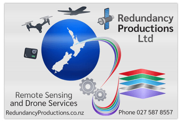
Turning drone data into local insights and practical solutions
Remote Sensing and UAS (Uncrewed Aerial Systems A.K.A. Drones) specialists creating practical survey, imagery, video, and modelling solutions across Waikato and Bay of Plenty

Reliable local services

Imagery
Aerial photography and video help you visualise projects or properties, supporting informed decisions and fresh marketing.

Mapping
Drone surveys can save you time and give clear accurate information fast. Many use-cases... call to discuss

Land use data
From documentation to 3D modelling or vegetative analysis, practical data offers solutions for planning, development, and property review.
Experience you can count on
Twenty five years working in Government serving the public. Three years developing and then leading remote sensing and UAS (Uncrewed Aerial Systems) programme.
Public service taught me the value of trust, accuracy, and honest advice.
I manage every project from the first point of contact until the after action review—whether it’s drone surveys, land imagery, or reviewing/analyzing remote sensing data. Redundancy Productions offers clients in Hamilton and across the Waikato and Bay of Plenty region straightforward, friendly service built around listening and real experience, so you get answers and value that matter here.